


%20(1).webp)
Modernising land administration in Benin
The client and the challenge
In Benin, occupying a piece of land and being able to prove it are two very different things. For most people, official title deeds are out of reach. Procedures are long, complex and costly. Without them, disputes go to court, loans stay out of reach, and investment stalls. The most vulnerable, tenants, women, young people, and smallholders, carry the most risk.
In response, MDF is implementing this project in partnership with VNG-International and Kadaster International. The National Agency for Land Administration (ANDF) of Benin serves as both client and partner, with funding from the Netherlands Embassy in Cotonou.
.webp)
Approach, results and next steps
The consortium aimed to create not just an improved filing system, but a fundamentally new approach to recording land ownership.
Since 2018, MDF, VNG-International and Kadaster International have been working alongside ANDF to develop e-Foncier Bénin (e-FB): a digital system that maps plot boundaries and links them to legal records. For the first time in Benin's history, there is a single, uniform, up-to-date map connecting land on the ground to rights on paper. Processes that once took years can now move faster. Information that was once opaque is now visible.
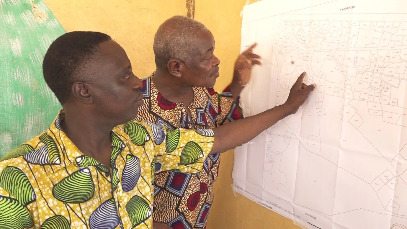
The process was intentionally practical. Instead of adopting a foreign model, the consortium focused on the specific needs of Benin’s government and communities. Methods were tested, refined, and documented in operational handbooks. ANDF staff developed the technical skills to manage the system independently. Civil society organisations participated directly, gaining access to real-time land information and training.
Between 2021 and 2025, the project achieved the following results:
- 491,293 land parcels mapped
- 222,463 people with recorded land rights, including 23,383 women and 11,191 young people between 15 and 35
- 2 municipalities and 387 villages (almost) fully registered
- 39 municipal officials trained to maintain the system
- 2 national decrees amended to implement Benin's plan national foncier
- 29 active data-collecting surveyors in the field
Recorded presumed ownership can now be converted into permanent titles, giving landowners the legal standing to access mortgage loans. In April 2025, the Beninese government went a step further, adopting legislation that allows all parties along the administrative chain to keep cadastral data up to date.

Benin’s ambition has expanded alongside the project. In 2024, the government launched a National Land Programme aiming for a nationwide cadastre covering all 77 communities in the country. In June 2026, the consortium signed a five-year extension, confirming that the initial pilot has become the basis for a broader initiative.


